We ambled our way down to Wellington and caught the Blue Bridge ferry to Picton. Even these ferries reminded us of the 80's and 90's because they are old French and Belgian cross channel and boats, complete with instructions and directions in french and Flemish
Wellington we left in the sun (am)
 |
| Bye Wellington Harbour... |
 |
| ...getting darker as we leave to enter the Cook Straight between North and South Island. |
NZ as a country has a North and South Island separated by the Cook Straight (as in Captain James C). It's not very wide but to the North and South Islanders its a world apart.
 |
| Looking very Stormy...looking to wards South Island from the boat |
 |
| ...On approach to the Sound leading to Picton on the South Island, now its a little brighter |
 |
| Moody views of the South Island |
 |
| Looks a bot like Scotland or the Howgills, you'll hear a lot of this about NZ... |
|
|
3 Hours after leaving Wellington we landed in Picton on the South Island, Siobhan, Paul and of course Lynda...
 |
| The birthday boy having Fish 'n' Chips at Picton on 21 March. "I'm 49 you know!!!" |
The south Island is famous for its deep water sounds, no not sounds as in musical notes, but sounds as in deep bodies of water.. This one is named after George IVs Austrian wife...
 |
| Queen Charlotte Sound - The ferries don't hang around long... |
 |
| Here they cut and use a lot of timber form the many hectares of managed plantations.... |
 |
| Another arm of Queen Charlotte Sound |
From Picton we headed West in the South Island (enjoy the irony) to Pelorus Bridge...
 |
| Pelorus river |
 |
| Pelorus Bridge - a walk in the woods |
Here the trees look "burned"
 |
| ...but actually it's a thick dark lichen that exudes a dewy fluid that the native insects and birds and not so native wasps enjoy |
Everyone associates NZ with the kiwi, flightless and timid but there are many flightless birds here or birds with a diminished capability to fly. This is because NZ has been separated from the other continental land masses for a long time. The land had no mammals on it until the Maori arrived and then the Europeans. So the birds were the top of the food chain.
 |
| OOhhh quick, quick its a kiwi..... oh no its not, its a Weka..... |
 |
| Plantation after it has been harvested near Okiwi Point. Devastation of trees and land equal to that of the White Wizard Sauruman |
Our drive West took us on ever smaller roads and eventually on to unsealed roads to reach...
 |
| French Pass, its the narrow gap between the two promontories... |
At the same time as Cook was surveying in the 1780's a French Captain D'Urville was sailing in these waters, in fact he sailed right thro that gap ( only 500 metres wide) with a 7 knot tidal race, and its been called french pass ever since.
 |
| French Pass...we camped just to the right of the jetty, just where the road ended before the water |
We had a great view of the beach from the good ship Wonderwoman and...
 |
| ..we could see variable oystercatchers (all black, what else in NZ) |
 |
| ...and of course the calm and tranquil sunbathed bay.... |
 |
| ...with Lynda blending in nicely... |
 |
| ...look she's hiding... |
 |
| Panoramic view of Current Basin, with French pass hidden on the right |
 |
| You see the scar running from left to right....that's our road out and over the hills |
 |
| Hhhm English lakes..... |
After getting over the hills we went to a small town called Nelson. We took a walk in a new reserve
 |
| Aptly names ...Fantail... they chase you to catch the insects you stir up with your feet.... |
 |
| Hawks lookout, not a a warning but a viewpoint looking back to wards Nelson |
In this area they are famous for Limestone Karst, don't know what this is? take a look below and then wiki up...
 |
| Exposed Limestone |
 |
| Lynda posing again |
Over the Hills out of Nelson we were heading for Whangariki Beach tonight....
 |
| Our campsite at Whangariki.. Lynda is just being shy...on the far right |
The walk to the beach is... dare we say it...stunning...in the late afternoon sun
 |
| walking towards the beach... |
 |
| Estuarine valley just before the beach |
 |
| and then down the sand dunes to...Whangariki beach. |
There are only half a dozen People here and the space feels infinite, the wide beach, the huge sky and of course the....
 |
| mysterious floating rocks in the sea. it really is floating in air, can you see the shadow underneath... |
 |
| and of course these larger rocks are far to big and heavy to float |
The conditions were perfect and the sky performed its magic with light and cloud....
 |
| wax lyrical about "light and cloud", not us, just look for yourself |
 |
| ...couldn't resist a panorama |
 |
| ...guess who... |
The following morning, before leaving, we had crisis about what to wear....
 |
| ...sandals with socks or without? you decide |
After which we set off...and 2 kms later saw this...
 |
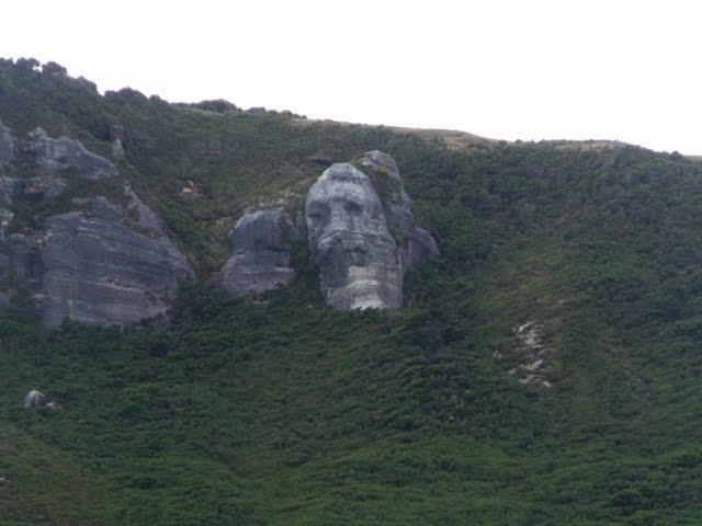
| ...no it's not Paul, it's "Old Man Rock"... |
Just before leaving this area we had a chance to...
 |
| Farewell Spit, a thin strip of sand more than 30 kms long. |
This is the unlike looking place of the first Maori landing in NZ, and has been fought over for control ever since.
 |
| Farewell Spit and Golden Bay...big isn't it |
From Farewell Spit we drove to the Abel Tasman National Park and stopped at Totaranui beach briefly to...
 |
| ...leave out trade mark, no socks though... |
and take a photo of a local....
 |
| red billed gull |
 |
| ...shag on a rock |
The road to Lake Rototiti is ...
 |
| ... long and not winding (this stretch was 4 km long) |
 |
| ... lichen on a rock |
 |
| Lake Rototiti |
 |
| local wildlife - sheep and spur winged plover |
At Marble Hill, Lewis Pass, the Pacific plate and the Australasian plate meet. Some scientists built a wall over the fault to measure movements, unfortunately in over 30 years there has been no movement.
 |
| We think it's just holding them together! |
From Marble Hill we made our way to the west coast, staying over night at Punakaiki.
 |
| Cape Foulwind - so named by Lieutenant James Cook (that'd be Cap't Cook to you and me) |
 |
| New Zealand Fur Seals at cape Foulwind |
 |
| Just so you know where we are. |
Don't forget to check for Wonderwoman week 3, to follow...